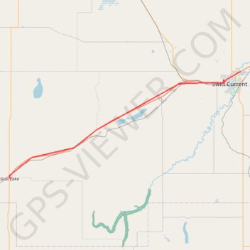
Gull Lake - Swift Current
- Distance: 38.0 mi
- Elevation gain: 728 ft
- Maximum elevation: 2,625 ft
- Elevation loss: 932 ft
- Minimum elevation: 2,411 ft
Interactive trail map
Trail profile
- Distance: 38.0 mi
- Elevation gain: 728 ft
- Maximum elevation: 2,625 ft
- Elevation loss: 932 ft
- Minimum elevation: 2,411 ft
About this trail
Name: Gull Lake - Swift Current trail, distance, elevation, map, profile, GPS track
Start: Gull Lake Campground, 5th Street, Gull Lake, Saskatchewan, S0N 1A0, Canada (50.09732 -108.47683)
Coordinates: 50.09674 -108.48390 50.30935 -107.76408
Other hiking, mountain biking, running and outdoor activity trails
Click on a trail to view its statistics, map and profile.
Gull Lake - Swift Current
Canada > Saskatchewan > Gull Lake
Distance: 44.2 mi • Elevation gain: 883 ft • Maximum elevation: 2,625 ft
Swift Current - Chaplin
Canada > Saskatchewan > Swift Current > Swift Current
Distance: 54.4 mi • Elevation gain: 804 ft • Maximum elevation: 2,539 ft
Maple Creek - Gull Lake
Canada > Saskatchewan > Maple Creek No. 111 > Eagle Valley
Distance: 61.4 mi • Elevation gain: 1,237 ft • Maximum elevation: 2,657 ft