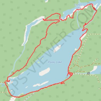
Walking around Parks Lake at Josephine Mine
- Distance: 3.5 mi
- Elevation gain: 364 ft
- Maximum elevation: 1,309 ft
- Elevation loss: 364 ft
- Minimum elevation: 1,158 ft
- Moving time: 1 h 58 m
- Moving speed: 1.8 mph
- Maximum speed: 8.3 mph
- Total time: 3 h 55 m
- Global speed: 0.9 mph
Interactive trail map
Trail profile
- Distance: 3.5 mi
- Elevation gain: 364 ft
- Maximum elevation: 1,309 ft
- Elevation loss: 364 ft
- Minimum elevation: 1,158 ft
- Moving time: 1 h 58 m
- Moving speed: 1.8 mph
- Maximum speed: 8.3 mph
- Total time: 3 h 55 m
- Global speed: 0.9 mph
About this trail
Name: Walking around Parks Lake at Josephine Mine trail, distance, elevation, map, profile, GPS track
Coordinates: 48.11207 -84.63641 48.12305 -84.62017