Import a GPX file

Midhurst Trail

Simcoe County Forest. #Hiking #MTB #Snowshoeing #Loop #Simcoe
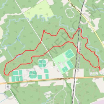
  • Distance: 5.2 mi
  • Elevation gain: 302 ft
  • Maximum elevation: 807 ft
  • Elevation loss: 302 ft
  • Minimum elevation: 669 ft

Interactive trail map

Trail profile

  • Distance: 5.2 mi
  • Elevation gain: 302 ft
  • Maximum elevation: 807 ft
  • Elevation loss: 302 ft
  • Minimum elevation: 669 ft

About this trail

Other hiking, mountain biking, running and outdoor activity trails

Click on a trail to view its statistics, map and profile.

Bradford - Wasaga Beach

Canada > Ontario > Simcoe County > Bradford West Gwillimbury

#Bike #Bradford #Wasaga Beach

Distance: 40.5 mi • Elevation gain: 1,083 ft • Maximum elevation: 1,030 ft

Québec - Montréal - Saint-Laurent River - Lake Ontario - Niagara Falls

Canada > Quebec > Urban agglomeration of Québec > Quebec

#Bike #Ontario

Distance: 670.1 mi • Elevation gain: 15,761 ft • Maximum elevation: 686 ft

Gear up for your next adventure:

🧢Outdoor Hiking Hat - Sun protection hat for outdoor explorers
🚁Photography Drones - Capture stunning aerial views of landforms and topography
🌡️Portable Weather Meter - Track weather conditions on the trail
📦Gear Storage Bags - Organize and protect outdoor equipment
🍳Camping Cook Set - Complete cookware for outdoor meals

As an Amazon Associate, this site earns from qualifying purchases at no extra cost to you.