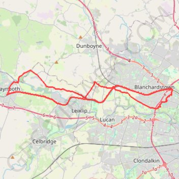
Royal Canal Way
Interactive trail map
Trail profile
- Distance: 24.6 mi
- Elevation gain: 456 ft
- Maximum elevation: 249 ft
- Elevation loss: 456 ft
- Minimum elevation: 161 ft
About this trail
Name: Royal Canal Way trail, distance, elevation, map, profile, GPS track
Coordinates: 53.36595 -6.59305 53.39856 -6.35721
Other hiking, mountain biking, running and outdoor activity trails
Click on a trail to view its statistics, map and profile.
Royal canal way
Ireland > County Meath > Enfield
#Bike
Distance: 27.2 mi • Elevation gain: 322 ft • Maximum elevation: 266 ft