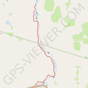
Import a GPX file

Horsetail Falls

Desolation Wilderness. Eldorado National Forest. #Hiking #Waterfall #River #Mountain #Forest #Nature

  • Distance: 4.0 mi
  • Elevation gain: 1,368 ft
  • Maximum elevation: 7,484 ft
  • Elevation loss: 1,368 ft
  • Minimum elevation: 6,148 ft

Interactive trail map

Trail profile

  • Distance: 4.0 mi
  • Elevation gain: 1,368 ft
  • Maximum elevation: 7,484 ft
  • Elevation loss: 1,368 ft
  • Minimum elevation: 6,148 ft

About this trail

Gear up for your next adventure:

🏔️Mountain Trail Maps - High‑detail maps for popular peaks
🧣Hiking Neck Gaiter - Multi‑use neck protection for outdoor weather
GPS Sports Watch - GPS watch for running, hiking and training
🎒Outdoor Daypacks - Lightweight backpacks designed for carrying maps and essential gear
🦶Carbon Trekking Poles - Reduce knee impact on steep descents with ultra-light poles

As an Amazon Associate, this site earns from qualifying purchases at no extra cost to you.