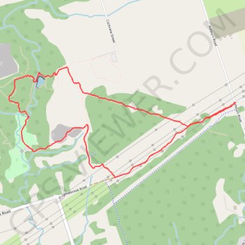
Heber Down Conservation Area Loop
Interactive trail map
Trail profile
- Distance: 3.5 mi
- Elevation gain: 246 ft
- Maximum elevation: 518 ft
- Elevation loss: 246 ft
- Minimum elevation: 387 ft
About this trail
Name: Heber Down Conservation Area Loop trail, distance, elevation, map, profile, GPS track
Coordinates: 43.92987 -78.98985 43.93838 -78.96567
Other hiking, mountain biking, running and outdoor activity trails
Click on a trail to view its statistics, map and profile.
Scarborough - Cobourg
Lake Ontario. #Bike #Scarborough #Cobourg #Toronto #Ontario
Distance: 66.7 mi • Elevation gain: 2,352 ft • Maximum elevation: 427 ft