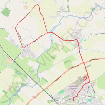
Bike ride Haddenham - Cuddington - Chearsley including The Maltings, Haddenham
- Distance: 8.6 mi
- Elevation gain: 436 ft
- Maximum elevation: 413 ft
- Elevation loss: 436 ft
- Minimum elevation: 220 ft
- Moving time: 36 m 46 s
- Moving speed: 14.1 mph
- Maximum speed: 25.7 mph
- Total time: 36 m 46 s
- Global speed: 14.1 mph
Interactive trail map
Trail profile
- Distance: 8.6 mi
- Elevation gain: 436 ft
- Maximum elevation: 413 ft
- Elevation loss: 436 ft
- Minimum elevation: 220 ft
- Moving time: 36 m 46 s
- Moving speed: 14.1 mph
- Maximum speed: 25.7 mph
- Total time: 36 m 46 s
- Global speed: 14.1 mph
About this trail
Name: Bike ride Haddenham - Cuddington - Chearsley including The Maltings, Haddenham trail, distance, elevation, map, profile, GPS track
Start: Marriott's Lane, Haddenham, Buckinghamshire, England, HP17 8BN, United Kingdom (51.77166 -0.93278)
End: Marriott's Lane, Haddenham, Buckinghamshire, England, HP17 8BN, United Kingdom (51.77164 -0.93275)
Coordinates: 51.77164 -0.96584 51.80600 -0.92334
Other hiking, mountain biking, running and outdoor activity trails
Click on a trail to view its statistics, map and profile.
The Jo Cox Way 2022 Day 4 - Milton Keynes to Uxbridge
United Kingdom > England > City of Milton Keynes > Milton Keynes > Monkston
Distance: 64.9 mi • Elevation gain: 3,406 ft • Maximum elevation: 823 ft