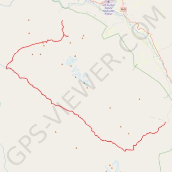
Markha Valley - Hemis National Park
- Distance: 58.3 mi
- Elevation gain: 15,010 ft
- Maximum elevation: 17,274 ft
- Elevation loss: 14,341 ft
- Minimum elevation: 10,994 ft
Interactive trail map
Trail profile
- Distance: 58.3 mi
- Elevation gain: 15,010 ft
- Maximum elevation: 17,274 ft
- Elevation loss: 14,341 ft
- Minimum elevation: 10,994 ft
About this trail
Name: Markha Valley - Hemis National Park trail, distance, elevation, map, profile, GPS track
Start: Jeep road, Zinchen, Leh district, Ladakh, India (34.09180 77.41880)
End: Shang Sumdo, Leh district, Ladakh, India (33.85496 77.70700)
Coordinates: 33.78617 77.26118 34.09180 77.70777
Other hiking, mountain biking, running and outdoor activity trails
Click on a trail to view its statistics, map and profile.
Stok Kangri Peak - Hemis National Park
Distance: 10.8 mi • Elevation gain: 8,340 ft • Maximum elevation: 19,980 ft