Bat Lake
Interactive trail map
Trail profile
- Distance: 3.4 mi
- Elevation gain: 325 ft
- Maximum elevation: 1,549 ft
- Elevation loss: 325 ft
- Minimum elevation: 1,302 ft
About this trail
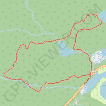
Name: Bat Lake trail, distance, elevation, map, profile, GPS track
Coordinates: 45.57447 -78.54044 45.58603 -78.51968
Other hiking, mountain biking, running and outdoor activity trails
Click on a trail to view its statistics, map and profile.