
Madison County, Tennessee, United States trails
Click on a trail to view its statistics, map and profile.
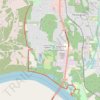
Singing River Trail / Tennessee River Greenway
United States > Alabama > Madison County > Huntsville
Distance: 10.1 mi • Elevation gain: 220 ft • Maximum elevation: 584 ft
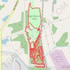
Pugh-Bourne Park Rockabilly MTB Trails
United States > Tennessee > Madison County > Oakfield
Distance: 6.5 mi • Elevation gain: 190 ft • Maximum elevation: 456 ft
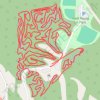
Fred Young MTB Whole Route
United States > Tennessee > Madison County
Distance: 6.3 mi • Elevation gain: 476 ft • Maximum elevation: 509 ft
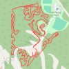
Fred Young, Jr Park South MTB
United States > Tennessee > Madison County
Distance: 4.6 mi • Elevation gain: 312 ft • Maximum elevation: 509 ft
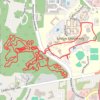
Union University MTB ride
United States > Tennessee > Madison County > Jackson
Distance: 7.5 mi • Elevation gain: 312 ft • Maximum elevation: 489 ft
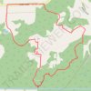
Pinson Mounds Loop Walk
United States > Tennessee > Madison County
Distance: 4.3 mi • Elevation gain: 187 ft • Maximum elevation: 459 ft