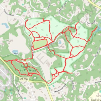
Tiffany Preserve, Oyster Bay, NY
- Distance: 9.6 mi
- Elevation gain: 541 ft
- Maximum elevation: 217 ft
- Elevation loss: 538 ft
- Minimum elevation: 85 ft
- Moving time: 3 h 44 m
- Moving speed: 2.6 mph
- Maximum speed: 6.7 mph
- Total time: 4 h 4 m
- Global speed: 2.4 mph
Interactive trail map
Trail profile
- Distance: 9.6 mi
- Elevation gain: 541 ft
- Maximum elevation: 217 ft
- Elevation loss: 538 ft
- Minimum elevation: 85 ft
- Moving time: 3 h 44 m
- Moving speed: 2.6 mph
- Maximum speed: 6.7 mph
- Total time: 4 h 4 m
- Global speed: 2.4 mph
About this trail
Name: Tiffany Preserve, Oyster Bay, NY trail, distance, elevation, map, profile, GPS track
Coordinates: 40.85667 -73.52071 40.86640 -73.50241
Topography: Nassau County topographic map, elevation, terrain
Other hiking, mountain biking, running and outdoor activity trails
Click on a trail to view its statistics, map and profile.