Central Park Evening walk
- Distance: 2.4 mi
- Elevation gain: 226 ft
- Maximum elevation: 161 ft
- Elevation loss: 125 ft
- Minimum elevation: 59 ft
Interactive trail map
Trail profile
- Distance: 2.4 mi
- Elevation gain: 226 ft
- Maximum elevation: 161 ft
- Elevation loss: 125 ft
- Minimum elevation: 59 ft
About this trail
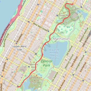
Name: Central Park Evening walk trail, distance, elevation, map, profile, GPS track
Coordinates: 40.77593 -73.97601 40.79954 -73.95552
Topography: New York topographic map, elevation, terrain
Other hiking, mountain biking, running and outdoor activity trails
Click on a trail to view its statistics, map and profile.