Gertrude's Nose Loop via Millbrook Mountain
Interactive trail map
Trail profile
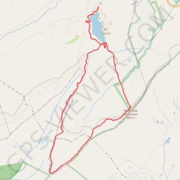
- Distance: 7.0 mi
- Elevation gain: 1,001 ft
- Maximum elevation: 1,791 ft
- Elevation loss: 1,001 ft
- Minimum elevation: 1,286 ft
About this trail
Name: Gertrude's Nose Loop via Millbrook Mountain trail, distance, elevation, map, profile, GPS track
Coordinates: 41.69437 -74.24902 41.72971 -74.22608
Topography: Ulster County topographic map, elevation, terrain
Other hiking, mountain biking, running and outdoor activity trails
Click on a trail to view its statistics, map and profile.
Millbrook Mountain Trail and Gertrude's Nose Trail Loop from Lake Minnewaska
United States > New York > Ulster County
The Millbrook Mountain and Gertrude’s Nose Trail Loop is a captivating hiking experience that showcases the rugged beauty of the Shawangunk Ridge. As you ascend, expect to be surrounded by ancient pitch pines and diverse flora, while the trail offers breathtaking panoramic views of the Hudson Valley and…
Distance: 7.0 mi • Elevation gain: 1,004 ft • Maximum elevation: 1,791 ft